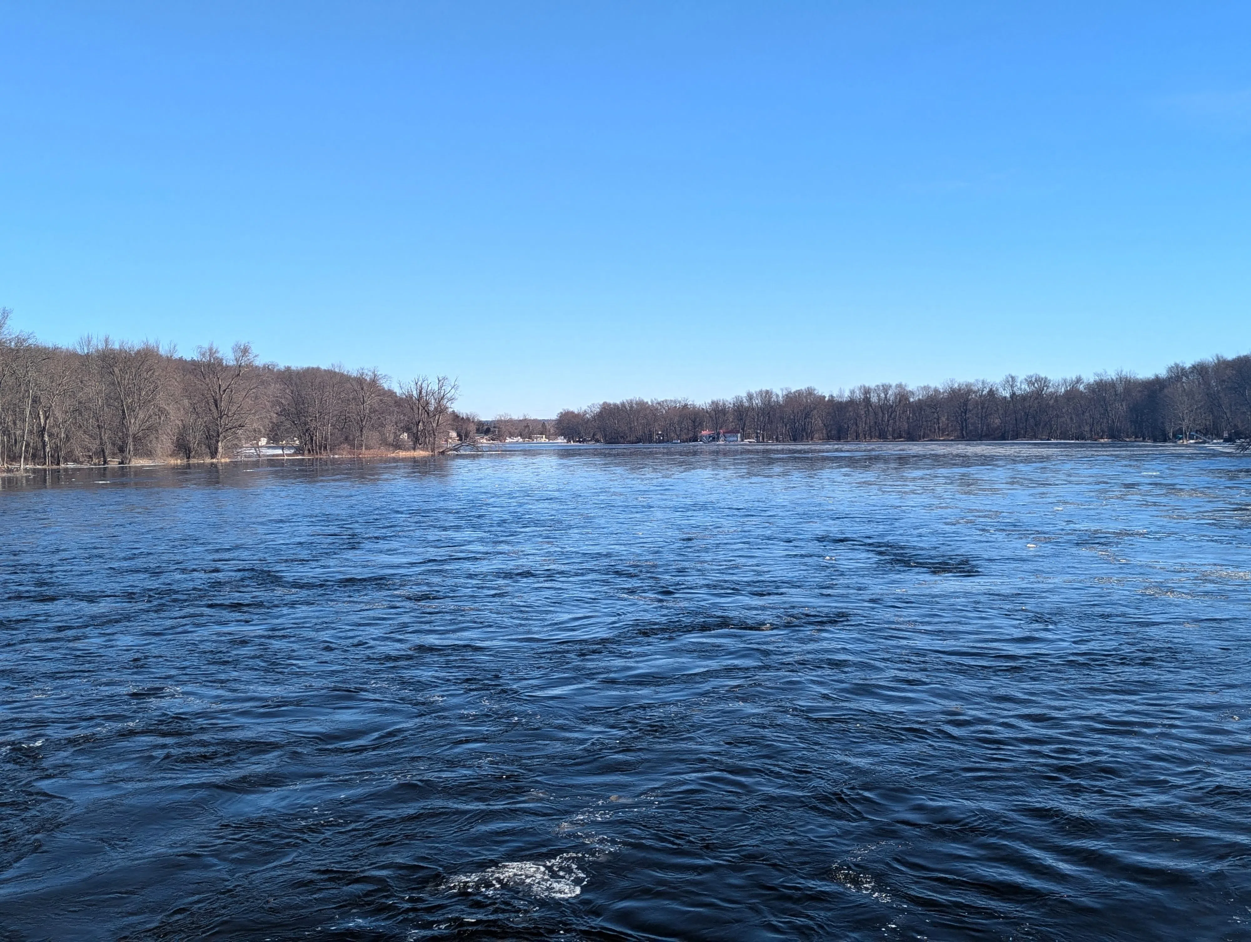
Lower Trent Conservation is warning residents to use caution around local waterways as a Water Safety Statement has been issued for local creeks across the Lower Trent watershed.
The statement covers a broad area stretching from Grafton to Quinte West, and from Lake Ontario to Rice Lake and east to Centre Hastings.
LTC says flooding is not expected at this time, but localized inundation of low-lying and poorly drained areas is possible.
Water levels throughout local creeks and streams are currently around the summertime average. However, a low-pressure system and associated cold front are expected to move through the region, bringing significant rainfall.
Current forecasts are calling for between 35 and 55 millimetres of rain, with the potential for additional rainfall in isolated areas due to thunderstorms and intense periods of rain.
The rainfall could result in higher-than-normal water levels and flows along smaller creeks and streams. LTC says these waterways can respond quickly to heavy rainfall, with water levels rising rapidly.
Localized flooding may be possible in urban areas where storm drains are unable to handle intense summer storms.
Residents and visitors are being urged to exercise caution around all watercourses because of the potential for strong currents. LTC says areas around dams, culverts and bridges should be avoided at all times.
Parents and caregivers are being reminded to keep children away from all waterways.
The Water Safety Statement applies to the Lower Trent Conservation watershed area, which includes parts of Northumberland, Quinte West and surrounding communities.
(Written by: Branden Rushton)
